
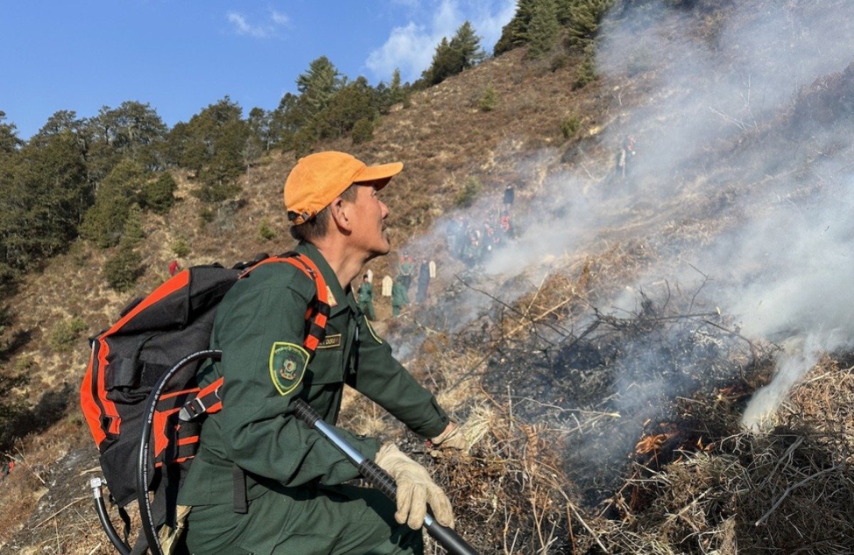
As winter approaches, the country’s risk of forest fires increases, necessitating extra caution. The Forest Fire Exposure Index was invented yesterday to help manage these risks. Government agencies are actively monitoring the situation and preparing personnel for a prompt reaction. The countryhas reported 30 forest fires, 58 house fires, and 28 other fire in last few years. Geoneon, an AI-driven geospatial business, developed the Bhutan Forest Fire Exposure Index, which assesses and manages forest fire hazards using satellite imagery and prediction models. This ground-breaking open-source technology intends to improve Bhutan’s resilience to forest fires by delivering enhanced climate risk analysis. The platform is intended with plans for new features, data layers, and resources.
A participant stated that it would enable reaction teams to make more informed judgments concerning forest fire preparedness and response. This platform, which is accessible in Bhutan, enables Bhutan to address the growing threat of forest fires in a proactive manner. Bhutan’s unique biodiversity and populations are becoming increasingly exposed to forest fires, with 69.71 percent of the country covered in forest and 26% designated as protected areas. Both the wildfire severity and exposure indices are based on the Geoneon Wildfire Data Stack and topography to assess fire risks across the country.