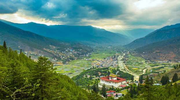
Agency: One normally associates land pooling and Local Area Plans (LAPs) with urban places, like Thimphu and Phuentsholing, but for the first time, in a major exercise, the entire Paro valley area from Shabha Gewog in the south to Zhiwaling in Tsento Gewog in the North will come under 36 LAPs that will cover 36 sq km within the 13th Five-Year Plan (FYP). For comparison, the current Thimphu Thromde boundary covers 26 sq km or Samdrupjongkhar LAP covers 4 sq km.
The LAPs are 36 in number, but there are efforts going on to combine them into 15 LAPs for convenience.
A Ministry of Infrastructure and Transport (MoIT) official said the main source document is the Comprehensive National Development Plan from which the Paro and Thimphu Regional Strategy is drawn, and there is then the Paro Valley Development Plan.
The 36 or so LAPs in Paro are a combination of all of the above.
The LAPs are based on NSB population projections till 2047 which says the existing population of Paro, will grow from in 46,316 in 2017 to 74,067 in 2047.

