
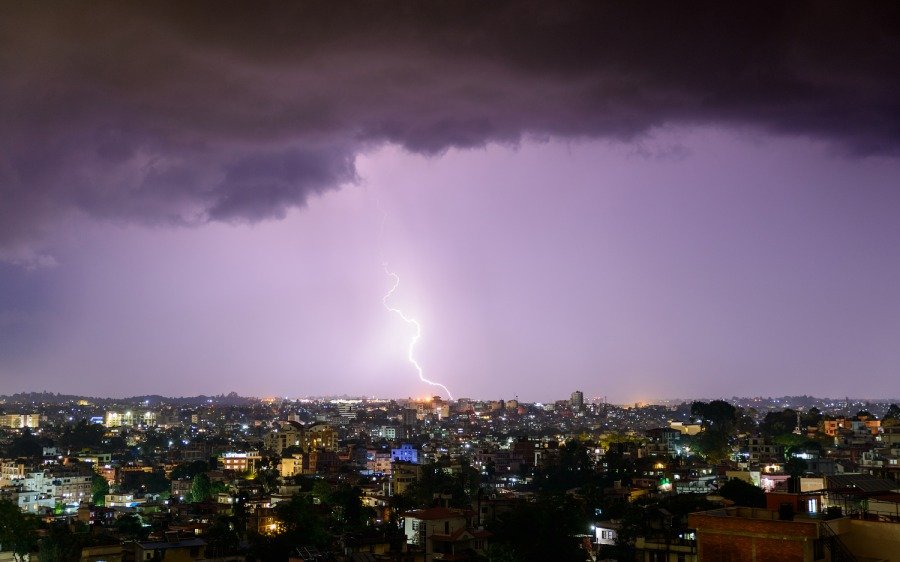
The Meteorological Forecasting Division (MFD) has issued a comprehensive weather alert for Wednesday, predicting a period of intense atmospheric instability across the country. According to the latest bulletin, a combination of a western disturbance, local winds, and a low-pressure system situated over the eastern region is currently influencing Nepal’s weather patterns. This convergence is expected to bring widespread rainfall, accompanied by frequent thunder, lightning, and hailstorms.
The forecast indicates that Koshi, Madhesh, Bagmati, Gandaki, and Lumbini provinces will remain predominantly cloudy throughout the day. Residents in the hilly and Himalayan regions of Karnali and Sudurpashchim should also prepare for overcast conditions. While light to moderate rain is expected in many areas, the MFD has highlighted a significant risk of heavy downpours at isolated locations, particularly within the hilly regions of Koshi and Gandaki provinces.
In addition to the precipitation, meteorologists have warned of strong, gusty winds likely to sweep through several districts in the Terai belt. These conditions are expected to persist well into the night, with moderate rainfall and thunderstorms continuing in Koshi, Madhesh, Bagmati, and Gandaki. Isolated heavy rain remains a threat for the hilly areas of these provinces during the nighttime hours, while the rest of the country may experience scattered showers.
Authorities have advised the general public to exercise caution, as the adverse weather could lead to localized flooding, landslides in hilly terrain, and disruptions to both air and ground transportation. Farmers are particularly urged to protect harvested crops and livestock from potential hail and high winds. As the system moves eastward, the MFD continues to monitor the situation and will provide updates on any significant changes to the storm’s trajectory or intensity.